
Managing and maintaining assets in the field is a complex challenge. From utilities and telecom to oil and gas and renewable energy, organizations rely on thousands of interconnected assets to keep operations moving. But with that complexity comes risk: downtime, missed inspections, compliance failures, and escalating costs.
This is where Geographic Information Systems (GIS) make a measurable difference. While many people think of GIS as a mapping tool, its true power lies in combining geospatial intelligence with asset management data. The result is actionable insight that helps businesses maintain, monitor, and manage assets more efficiently—and with greater ROI.
According to McKinsey, predictive maintenance powered by GIS and IoT can reduce downtime by 30–50% while extending asset life. For organizations where uptime is non-negotiable, that is a game-changer.
Key Benefits of GIS in Asset Management
While each of the seven use cases above demonstrates specific value, the overarching benefits of GIS in asset management are clear:
-
Improved Accuracy: Geospatially enriched data minimizes human error.
-
Efficient Maintenance: Predictive insights reduce downtime and extend asset life.
-
Smarter Field Operations: Mobile GIS tools streamline data collection in real time.
-
Better Compliance: Automated recordkeeping ensures regulatory alignment.
-
Increased ROI: Cost savings directly support profitability and growth.
This section serves as a checklist for organizations evaluating whether GIS-enabled asset management is worth the investment.
Here are seven essential ways to use GIS in asset management.
1. Asset Registry and Integration
A strong asset management program begins with a comprehensive registry. GIS takes this a step further by enriching asset records with accurate location data.
By integrating GIS with platforms like Field Squared’s Enterprise Asset Management (EAM), teams can unify asset details across multiple systems. Integration with tools such as Esri ArcGIS ensures geospatial accuracy while minimizing human error.
This creates a single source of truth, eliminating silos and enabling organizations to see every asset in context—whether fixed, mobile, or distributed across wide regions.
2. Preventative and Condition-Based Maintenance
Waiting for assets to fail is expensive. GIS enables organizations to transition from reactive to proactive maintenance.
By combining asset performance data with geospatial insights, teams can schedule preventative and condition-based maintenance more intelligently. For example, assets in regions prone to harsh weather or high usage can be prioritized before failures occur.
Deloitte reports that companies implementing predictive maintenance strategies see maintenance costs reduced by nearly 20%.
GIS in asset management makes this kind of proactive approach possible, extending asset lifespan while reducing costly downtime.
3. Real-Time Tracking and Historical Data
Knowing where your assets are and how they’ve performed over time is critical to efficiency. With GPS and IoT devices integrated into GIS platforms, organizations can track assets in real time and access historical geospatial data.
This is particularly valuable for mobile fleets and distributed infrastructure. Leaders gain insights into asset utilization, performance trends, and replacement needs.
Field Squared’s asset tracking capabilities combine GPS, IoT, and GIS to turn raw data into actionable intelligence, helping forecast future requirements with confidence.
4. Field Data Collection and Updates
Field technicians need to capture asset data on-site, often in areas with limited connectivity. GIS-enabled mobile applications solve this challenge by supporting offline data collection that syncs automatically when the device reconnects.
Field Squared’s mobile workforce management platform ensures updates from the field flow directly to back-office systems in real time. This prevents data silos, reduces reporting delays, and creates a single collaborative workflow across teams.
The result is greater accuracy, fewer missed details, and more reliable decision-making.
5. Enhanced Decision Making
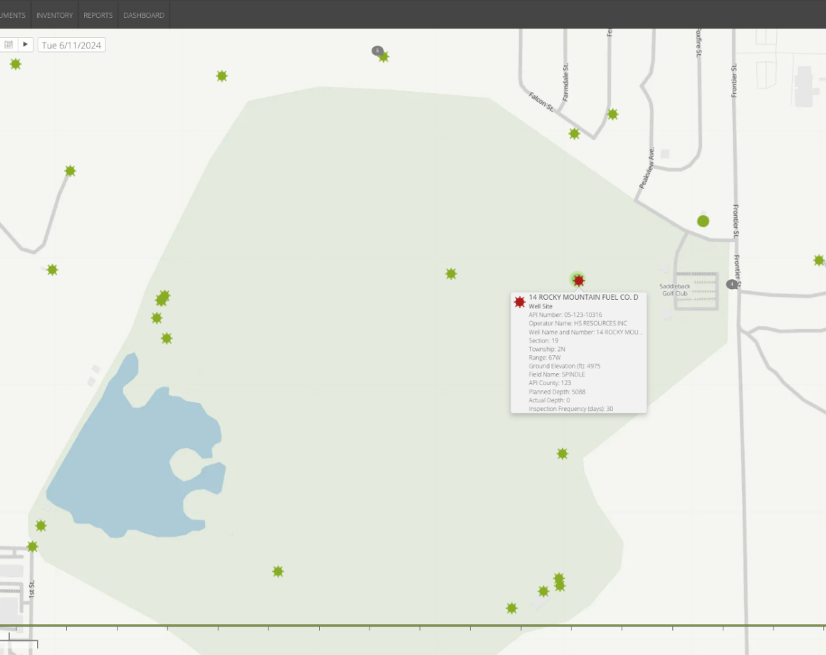
Data in rows and columns can be hard to interpret. Seeing assets on a GIS-powered map changes everything.
Visualizing assets spatially helps leaders:- Allocate resources more effectively.
- Identify high-risk areas faster.
- Respond to emergencies with greater precision.
- Redline or annotate asset changes for compliance and recordkeeping.
Field Squared’s customizable dashboards integrate geospatial views with operational data, giving decision-makers a complete perspective that combines context with metrics.
6. Cost Savings and ROI in Practice
The financial benefits of GIS in asset management are significant. By reducing duplication of asset orders, minimizing downtime, and cutting fuel costs through route optimization, organizations protect their bottom line.
A Deloitte study found that companies using predictive, GIS-driven maintenance strategies save 10–20% annually in maintenance budgets.
For SMBs, these cost savings directly support competitiveness and growth. For enterprises, the scale of savings can run into millions annually.
7. Risk, Compliance, and Regulatory Reporting
In industries like utilities and oil and gas, compliance isn’t optional—it’s mandatory. GIS supports compliance by providing a transparent, verifiable record of inspections, maintenance logs, and asset history.
When regulators request evidence of upkeep or safety checks, GIS-backed systems can instantly generate the necessary documentation. This not only reduces audit stress but also minimizes the risk of fines or reputational damage.
Future Outlook: Where GIS in Asset Management Is Headed
GIS is no longer just about knowing where assets are. Emerging technologies are expanding its role in asset management:
-
AI and Machine Learning: Unlock predictive and prescriptive maintenance by analyzing geospatial patterns at scale.
-
IoT Sensors: Stream continuous performance data into GIS platforms for real-time monitoring.
-
Digital Twins: Create virtual replicas of infrastructure to simulate scenarios, improve planning, and optimize performance.
-
Climate Risk Mapping: Support resilience and sustainability by analyzing environmental impacts on assets.
Organizations that adopt these capabilities now will be better prepared for the challenges of tomorrow.
For more detailed information on using GIS for asset management, visit Field Squared’s Enterprise Asset Management.