Geographic Information Systems (GIS) have become invaluable tools for managing field assets. Here’s how you can leverage GIS for effective asset management:
Using a hierarchical asset registry enriched by GIS, you can manage various types of assets, from plant equipment to fleet vehicles. The ability to integrate GIS with platforms such as FieldSquared's asset management software ensures a unified view of asset details across multiple systems. Integrating systems like Esri ArcGIS allows seamless synchronization of asset data and geolocation, minimizing errors in tracking and management.
GIS helps schedule recurring maintenance and manage condition-based alerts, ensuring assets are serviced proactively. This reduces downtime and extends the life of your assets. FieldSquared's platform supports geospatial analysis, enabling teams to identify high-risk areas and prioritize maintenance both preventive and prescriptive accordingly.
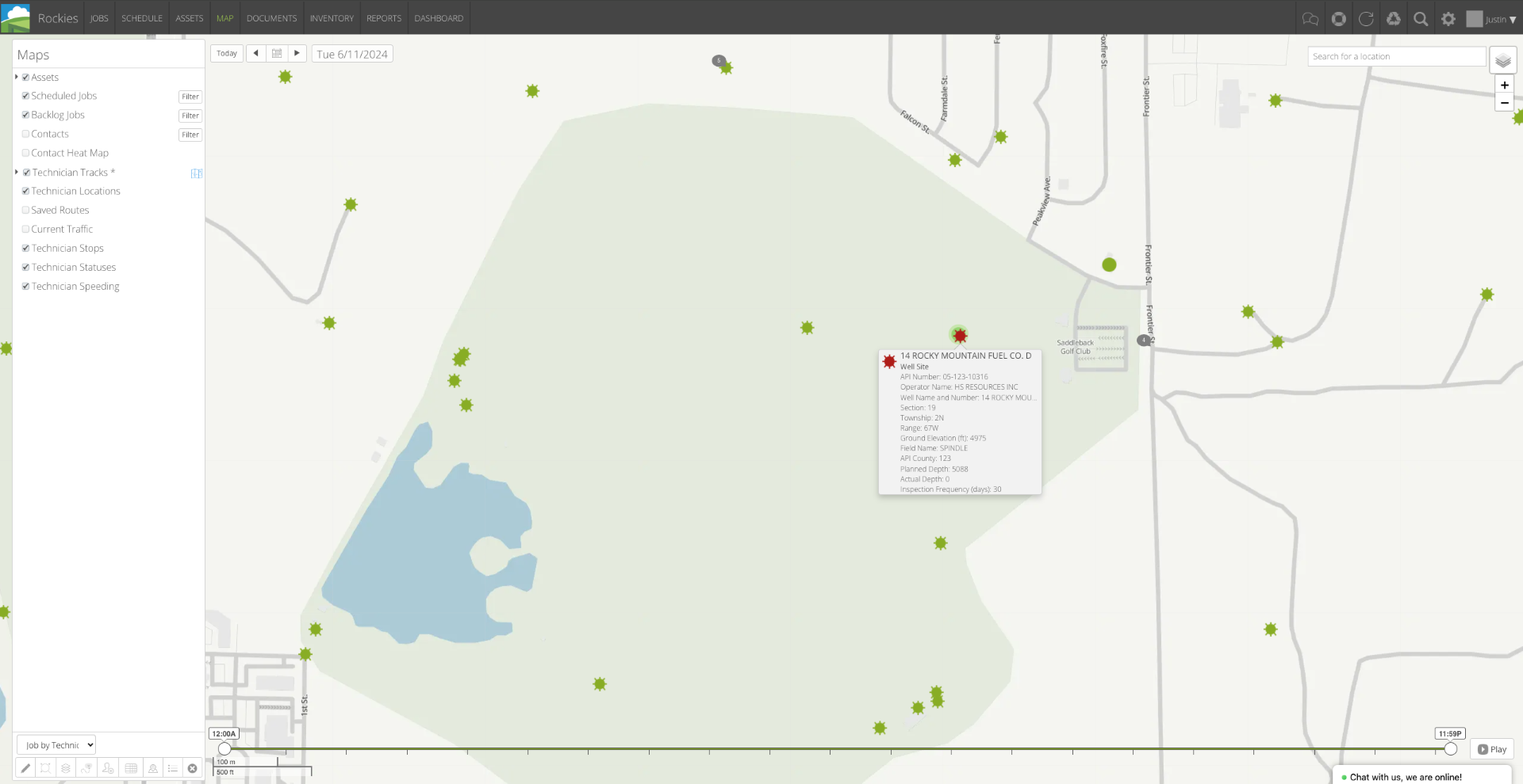
Track the real-time location of assets and view their historical geospatial data. This is crucial for fixed and mobile assets, providing insights into asset utilization and movement. With FieldSquared’s advanced GPS and IoT integration, you can gain deeper insights into asset performance trends over time, which helps forecast future requirements.
Field technicians can use mobile applications to update asset information directly in the field. GIS-enabled apps allow offline data collection, which syncs when connectivity is restored, ensuring no data is lost. For example, FieldSquared enables real-time synchronization between field updates and back-office systems, eliminating data silos and improving collaboration.
By visualizing assets on a map and analyzing spatial data, you can make informed decisions about resource allocation, maintenance schedules, and emergency responses. FieldSquared’s customizable dashboards further enhance decision-making by presenting geospatial data alongside operational metrics. GIS tools also support redlining and annotating asset changes for accurate records.
For more detailed information on using GIS for asset management, visit Field Squared’s Enterprise Asset Management.